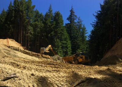
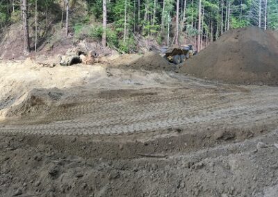
Dark Gulch Construction Gallery
Photo Gallery: Dark Gulch construction
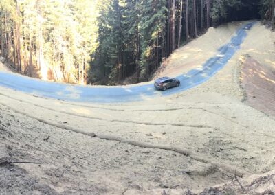
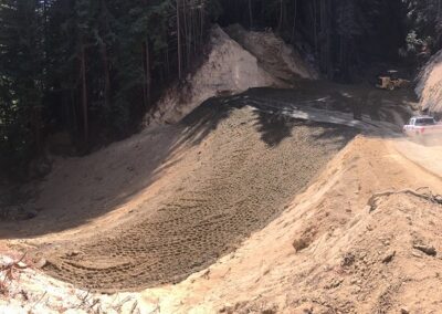
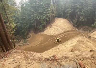
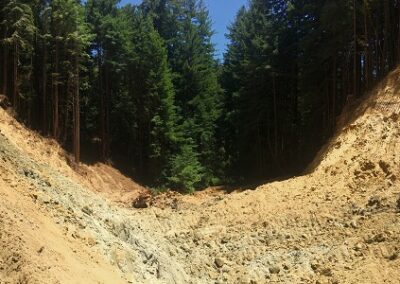
DG Week 25: Panoramic of crossing from the NW side
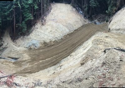
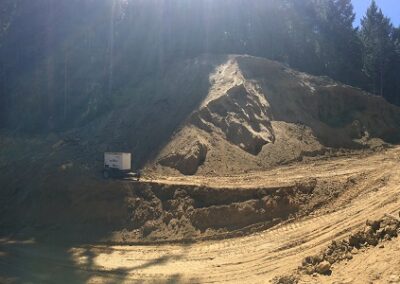
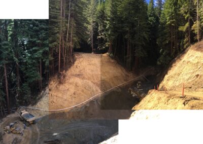
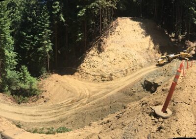
The requisite panoramic of the restored crossing from the northwest side. Downstream Dark Gulch Creek is to the left, and to the right is Old Haul Road heading west. The car is parked at the center of the newly reconstructed crossing over Dark Gulch Creek.
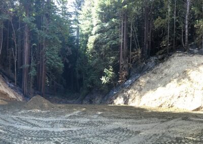
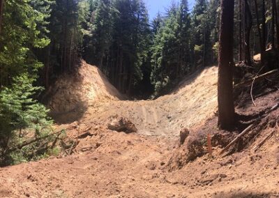
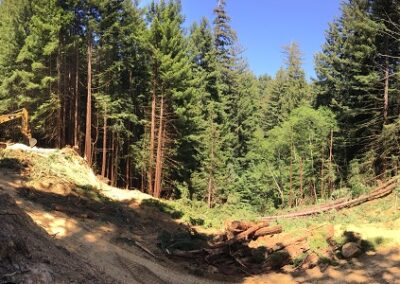
DG Week 25: Panoramic overlooking finished crossing
Taken from Ocean View Trail, downstream Dark Gulch Creek is straight ahead. Upstream Dark Gulch Creek is to the far right (note the rock around the new culvert inlet).
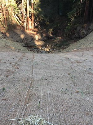
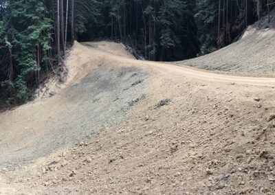
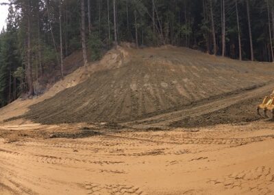
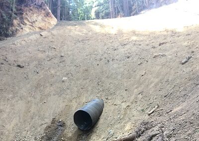
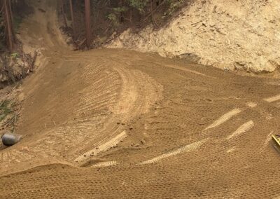
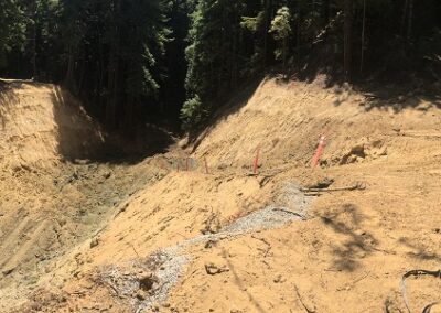
DG Week 25: Close up of erosion control finished crossing
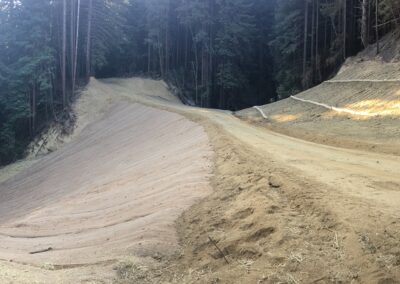
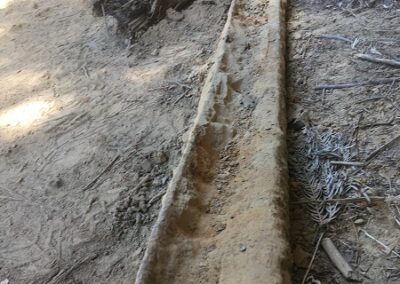
Close up of the erosion control on the north slope (downstream side) of the crossing. Already seeing growth (barley, sterile).
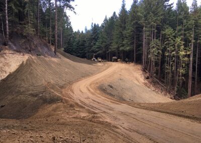
DG Week 25: Drainage improvements on Old Haul Road
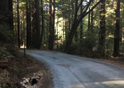
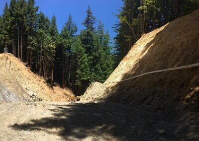
Example of the improvements to Old Haul Road west of the Dark Gulch construction site: rocked road and new ditch relief culvert (inlet).
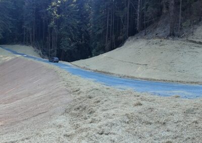
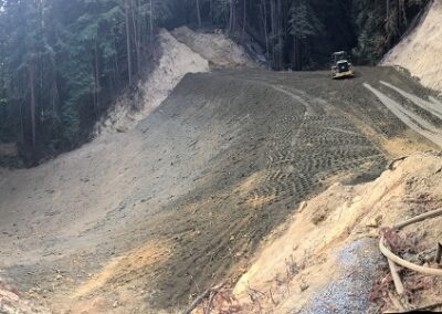
DG Week 24: Panoramic crossing from NW
Downstream Dark Gulch is to the left. Old Haul Road heads east straight ahead. The different color on the sloped side of the crossing is the erosion control
DG Week 24: Hazard tree (removed) and Old Haul Road
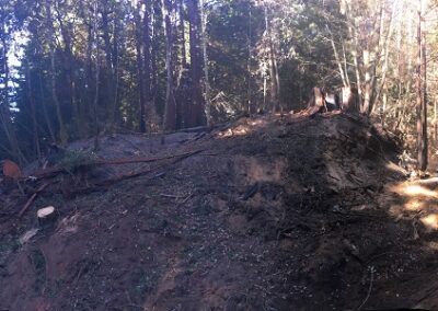
Panoramic including large stump from burning hazard tree removed by CAL FIRE along of Old Haul Road west of the Dark Gulch crossing. On the right, the road heads west. The stump is center, right up high. When the tree was downed, it fell across the slope in the center of the panoramic and over the road (just below the view of this photo).
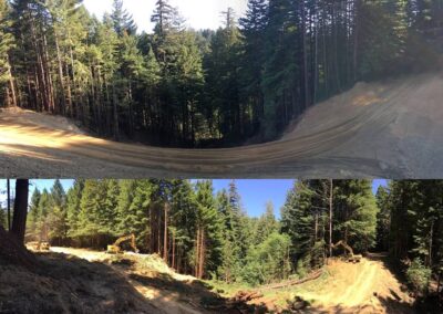
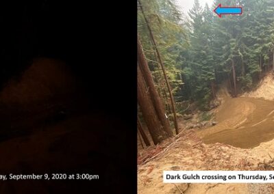
DG Week 23 (top) vs Week 3 (bottom): Crossing looking downstream.
Panoramic of the restored crossing. Old Haul Road heads west on the left side and east towards the right. For comparison the Week 3 panoramic from (basically) the same location is included.
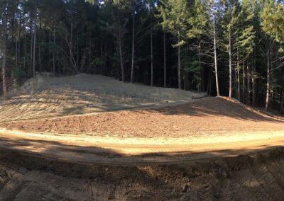
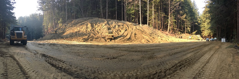
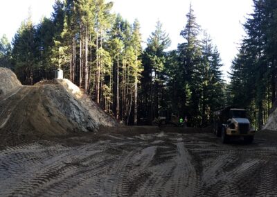
DG Week 23: Panoramic of “bench” next to crossing
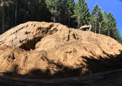
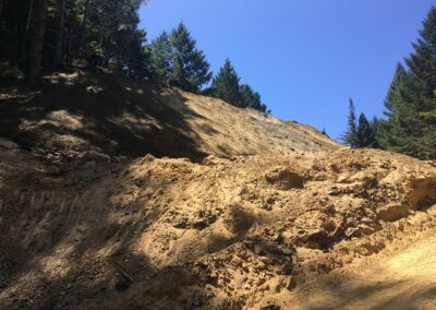
This “bench” next to the crossing is where the excavated material was stored during the construction. It got really big and then shrank back down to this size. The crew spread wood chips on the lower portion and the road sloping up from the left to right side leads to the skid road that the crew created for CAL FIRE access during the CZU August Lightning Fires. Going forwards, it’s going to be maintained for fire response access.
DG Week 22: Panoramic: restored crossing (left) & “bench” (center)
Excavator (to the far right) is finishing up the last of the grading.
DG Week 21: Panoramic in crossing (looking upstream)
Note how much higher the crossing bottom is now that the crew has been backfilling with engineered fill. For comparison, look at the Week 11 & 12 photos when the crossing excavation was ~100 feet deep.
DG Week 20: Pano overlook crossing from NW side
To the left is downstream on Dark Gulch and upstream is to the right in the photo.
DG Week 20: Panoramic in crossing (looking upstream)
Note how much higher the crossing bottom is now that the crew has been backfilling with engineered fill. For comparison, look at the Week 11 & 12 photos when the crossing excavation was ~100 feet deep.
DG Week 19: Pano overlook crossing from NW side
To the left is downstream on Dark Gulch and upstream is to the right in the photo.
DG Week 19: Looking downstream in crossing
Note how much higher the crossing bottom is now that the crew has been backfilling with engineered fill. For comparison, look at the Week 11 & 12 photos when the crossing excavation was ~100 feet deep.
DG Week 18: Overlooking crossing from NW (9/10/2020)
The crew is making progress backfilling the crossing with engineered fill.
DG Week 18: Culvert outlet backfilled (9/10/2020)
The road directly across the culvert is the skid road that the construction crew cut during the fire response to provide access to CAL FIRE and others across the excavated crossing, and up to the east side of Old Haul Road.
DG Week 18: Crew backfilling culvert outlet (9/8/2020)
Crew digging out the fill around the culvert at the downstream end and replacing it with engineered, compacted fill. Also, crew are carrying out the last of the white dewatering pipes. (Looking downstream.) Previously, this short segment of the trench (and culvert) were filled in quickly on Aug 19 during the fire response on Old Haul Road to allow for vehicle access across the Dark Gulch crossing excavation. This connected to a temporary access (skid) road that the crew cut from the bottom of excavation up to Old Haul Road on the east side.
DG Week 18: Removing dewatering system coffer dam (9/8/2020)
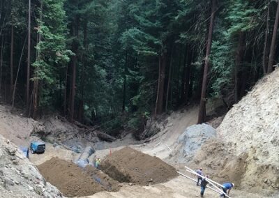
The dewatering system was temporarily diverting the creek flow around the construction site. Now that the culvert pipe is in place to convey the flow through the crossing, the dewatering system is no longer needed.
DG Week 17: Concrete pour along culvert pipe.
The concrete strengthens the connections between pipe segments to prevent against separation or leaks. (Upstream is to the left in this photo.)
DG Week 17: Panoramic overlooking xing from NW
Downstream on Dark Gulch is to the left. The temporary access (skid) road is opposite towards the left side. This was taken after the poured concrete had set, and the culvert trench had been backfilled.
DG Week 17: Upstream of xing, showing burned area.
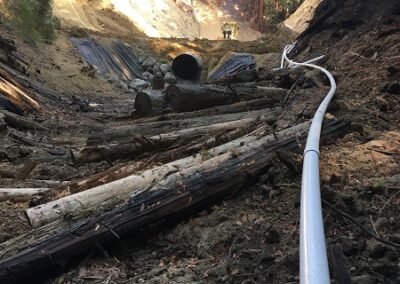
The white pipe is the dewatering pipe that is carrying the creek flow around the construction site during construction.
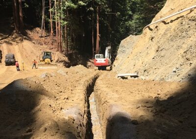
DG Week 14: Overlooking upstream end of crossing from SE side
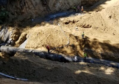
Taken prior to cutting the trench for the culvert installation.
DG Week 14: Pano of shrinking stockpile area
The crew is using the excavated material to build the crossing back up.
DG Week 13: Composite photos overlooking excavation from NW
Towards the left is Dark Gulch downstream, and toward the right is upstream. Towards the right side, up higher is Old Haul Road heading east.
DG Week 13: Panoramic in crossing bottom looking west
Old Haul Road heads off to the west at the top, left-center of the photo. Towards the left side is upstream on Dark Gulch, and downstream is to the right.
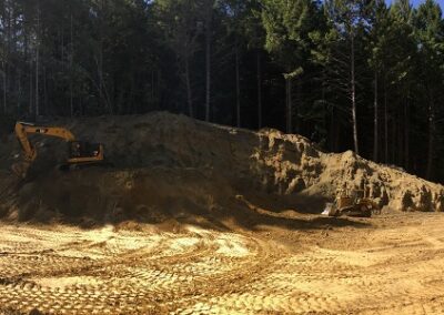
DG Week 13: Panoramic of stockpile
The stockpile of excavated material adjacent to the crossing (on the “bench”) continues to diminish as the crew is using the material to build the crossing back up.
DG Week 12: Pano Overlooking Excavation from NW
Towards the left is Dark Gulch downstream, and toward the right is upstream. Towards the right side, up higher is Old Haul Road heading east.
DG Week 12: Panoramic from bottom of crossing
Another perspective of the crossing this week: a panoramic taken from near the bottom of the crossing on the downstream end (towards the right). Near the right side, the photo looks upstream on Dark Gulch – along the “alley.”
DG Week 12: Crew measuring at downstream end of crossing
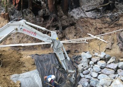
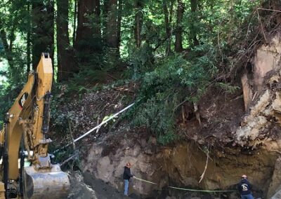
The crew measuring how much drainage cloth they will need to lay down beneath the rock that will be placed later.
DG Week 12: Pano of Stockpile
The 30’ high stockpile of excavated material adjacent to the crossing (on the “bench”) is starting to diminish as the crew is using the material to build the crossing back up. This week, they placed about 15-20’ of feet of engineered fill at the downstream end of the crossing (visible in the other Week 12 photos).
DG Week 11: Panoramic overlooking excavation from NW – with Kiel!
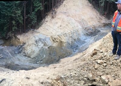
The obligatory panoramic overlooking the crossing excavation from the NW side of the crossing — this time with Kiel Rosetti, construction foreman, for some helpful perspective! The equipment in the pit (toward the left side of the photo) is about 100 feet below us. Towards the left side is the downstream side of Dark Gulch creek. To the right side, upstream. To the middle right, high up is Old Haul Road heading east.
DG Week 11: Composite panoramic from down in the excavated crossing.
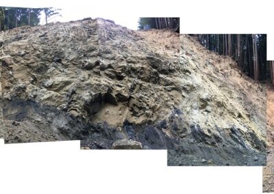
A composite panoramic taken from down in the excavated pit, nearer to the downstream side. (From this spot, the panoramic feature on my phone can’t capture the full height of the excavated walls.) To the left side is downstream on Dark Gulch and the base of the excavation. Middle looks west — high up is the road. The left side of the composite looks upstream.
DG Week 11: Hannah Ormshaw walking from excavated crossing.
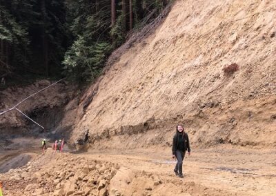
Hannah Ormshaw, County Parks Natural Resources Manager and the Parks lead for this project, making the climb up the construction access road after checking out to the excavated crossing!
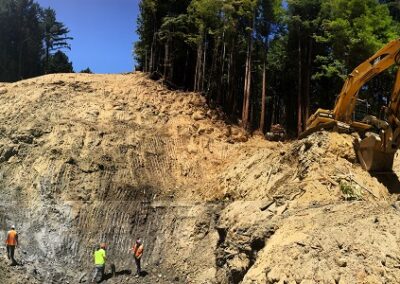
DG Week 10: Composite photos overlooking crossing excavation from NW side
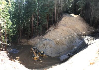
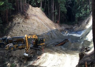
Composite of photos overlooking the crossing excavation from the NW side of the crossing. Towards the left side is the downstream side of Dark Gulch creek. To the right side, upstream. Straight ahead is Old Haul Road heading east. Down in the excavated crossing, below (and a bit right) of the 2 excavators is the lowest point in the “pit”—more than 100’ below where this picture is taken from!
DG Week 10: Pano taken from downstream
This is a composite panoramic taken from down in the excavated crossing. To the left is upstream Dark Gulch. Left of center and high up is Old Haul Road heading west, and below this the crew members are standing at the lowest point in the pit, >100 feet below the road! To the right side of the photo is downstream Dark Gulch.
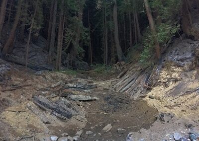
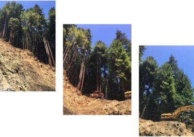
DG Week 10: View from bottom of excavation, more than 100′ down!
This photo series, taken from the lowest point of the excavation, gives a perspective on how deep the pit currently is. The left photo looks straight up (>100 feet) to the west side of the crossing. Just to the right of the right hand photo is downstream Dark Gulch.
DG Week 10: View from the “pit”: looking upstream at drop-offs
Taken from the lowest point in the ‘pit’ (>100 feet below the original road), this photo looks towards the upstream end of the crossing. It provides good perspective on the scale of the excavation that the crew has accomplished. In the foreground Tim Best (project engineer) is working on calculations, and behind him (up higher) is crew member Garren Bell standing just above the lowest of the 3 drop-offs (i.e. waterfalls) that were revealed in the excavation over the past week and a half.
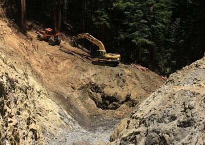
DG Week 10: Midway in excavated crossing excavation, looking downstream
Looking downstream from the middle of the excavated crossing, this photo shows the excavated pit. The excavator is working on removing the last remaining debris from the downstream end of the crossing.
DG Week 10: Pano in excavated crossing, looking downstream
Panoramic taken from the upstream end of the excavated crossing. Towards the left (up high) is Old Haul Road heading west. Straight ahead, you are looking downstream along Dark Gulch, and to the right (up high) is the road heading east.
DG Week 9: Composite photos overlooking crossing excavation
Composite of photos overlooking the crossing excavation from the NW side of the crossing. Towards the left side is the downstream side of Dark Gulch creek. To the right side, upstream. Straight ahead is Old Haul Road heading east. Down in the excavated crossing, to the right of the large piece of wood is the opening/hole where the crew unearthed the 20’ drop in the original crib log structure.
DG Week 9: Project engineer surveying drop-off in crib log structure.
Tim Best (project engineer) doing a survey of the area where the crew unearthed the drop-off in the log structure. He’s looking downstream.
DG Week 9: View of inside of collapse log culvert structure
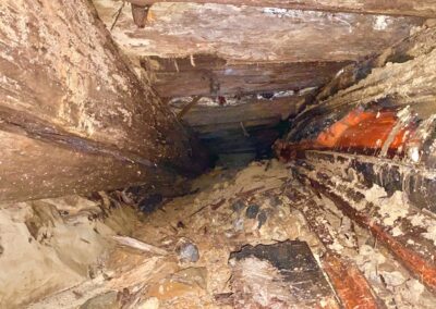
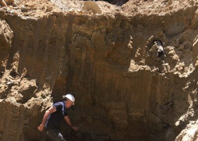
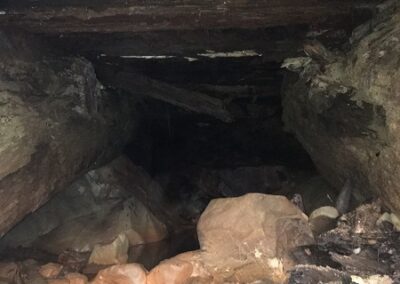
View looking downstream inside the lower section of the crib log structure. Just like the section that the crew revealed the previous week, this part is like a very narrow mine shaft.
DG Week 9: Panoramic view from upstream end of excavated crossing
To the left (up high) is Old Haul Road heading west. Straight ahead, you are looking downstream along Dark Gulch, and to the right (up high) is the road heading east.
DG Week 9: View of crossing excavation from downstream end
Photo taken from the downstream end of the crossing excavation, looking upstream.
DG Week 8: Overlooking crossing excavation (from NW side)
Towards the left side of the panoramic, is the downstream side of Dark Gulch creek. To the right side, upstream. Note the shadowed area in the excavated crossing just right of center in the photo; this is the opening/hole through which the original crib logs and creek flow can be seen (in other Week 8 photos).
DG Week 8: Closeup: Opening to original crib log structure
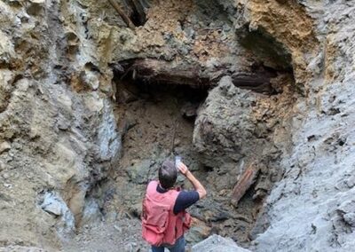
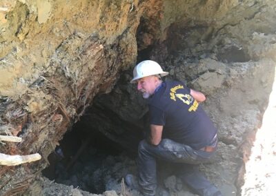
Lester Giacomini (owner, construction company) takes a closer look at the opening to original crib log structure…
DG Week 8: Inside opening to original crib log structure (looking upstream)
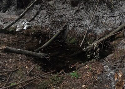
View inside the crib log structure, looking upstream. It looks like a very narrow mine shaft.
DG Week 8: The growing stockpile +dozer (top, left)
To get a sense of the size of this, note that near the top left corner of the photo (in shadow) is a bulldozer on top of the pile.
DG Week 7: Panoramic in crossing looking downstream.
Old Haul Road heads west to the left (up). Looking straight ahead is Dark Gulch creek downstream. To the right and up, Old Haul Road heads east.
DG Week 7: Panoramic overlooking the crossing (from NW side).
Downstream Dark Gulch is to the left of the edge of the photo. Old Haul Road heads east to the left, center (up). Left of center is Dark Gulch creek upstream. To the right is the stockpile area (ie. the bench) and Old Haul Road heading west.
DG Week 7: Panoramic in the crossing (looking upstream)
Old Haul Road heads east to the center, left (up). Looking straight ahead is Dark Gulch creek upstream. To the right and up, Old Haul Road head west.
DG Week 7: Closeup of dug out stump in the crossing.
Note Sara’s less-than-a-foot foot for size comparison.
DG Week 6: Panoramic from excavated pit.
This photo shows Old Haul Road head off to the west (in center, high up) and Dark Gulch creek downstream towards the far right of the photo. Just to the left of where Kiel is standing is part of the original crib log crossing structure.
DG Week 6: Another panoramic from the excavation pit.
The photo shows Old Haul Road heading off to the west on the left side, and to the east on the right side. (Downstream on Dark Gulch is past (and far below) the excavator in the center of the photo.)
DG Week 6: Sara (RCD Project Manager) with the pulled “tooth.”
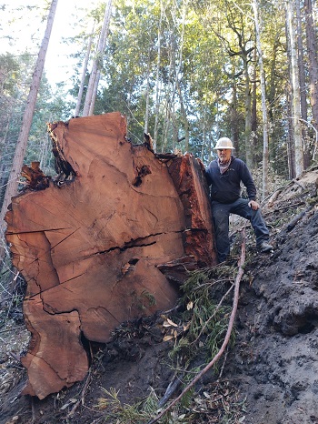
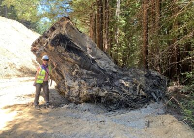
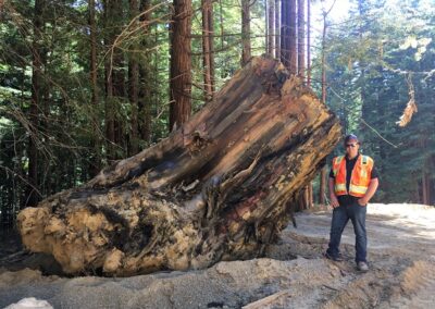
The crew successfully extracted the very large rooted stump (aka, the “tooth”) from the crossing this week. It weighs at least 40,000 lbs!
DG Week 5: Panoramic of crossing (left) and stockpile area (right).
The crossing is on the left side of the photo. To the right, Old Haul Road heads west.
DG Week 5: Panoramic of crossing excavation.
Old Haul Rd heads west on the left side of the photo & east towards the middle right. Looking straight ahead is downstream on Dark Gulch Creek, and upstream is to the right of the photo.
DG Week 5: Crossing excavation (looking east along Old Haul Road).
In the foreground there is a very large, rooted stump that the construction crew encountered and tried to excavate.
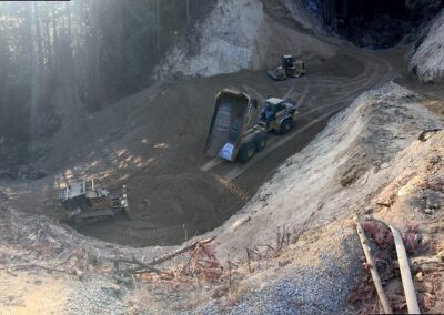
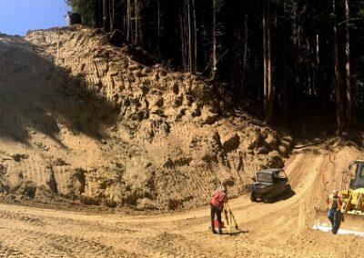
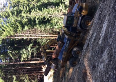
DG Week 4: Excavated material at stockpile area next to crossing.
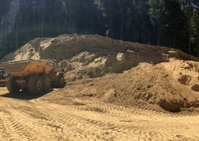
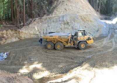
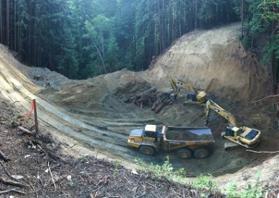
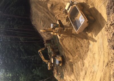
The dump truck wheel at the left is 5′ tall. The pile on the left is 15-20′ tall.
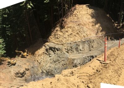
DG Week 3: Panoramic of crossing excavation.
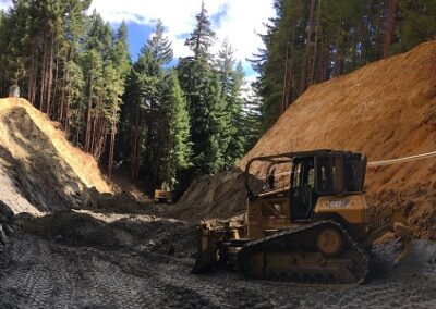
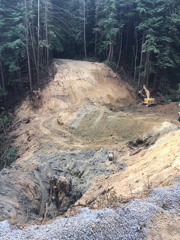
Old Haul Rd heads west on the left side of the photo & east towards the right. Looking straight ahead (beyond the pile of debris) is downstream on Dark Gulch Creek.
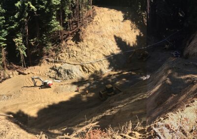
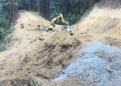
DG Week 2: Panoramic of crossing excavation.
Old Haul Rd heads west on the left side of the photo & east towards the middle right. Looking straight ahead (beyond the bulldozer) is downstream on Dark Gulch Creek, and upstream is to the right of the photo.
Photo gallery: CZU August Lightning Complex Fires near Dark Gulch: Response along Old Haul Road (August 16-31)
On August 16, 2020 (start of week 15 of construction on the Dark Gulch project), two fires started just south of Old Haul Road on Butano Ridge.
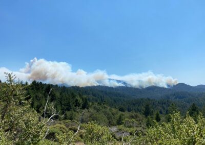
DG Week 15: CZU Fires: Fire burning toward Dark Gulch -pic2 (Wed, 8/19/2020)
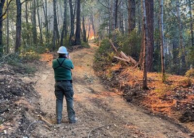
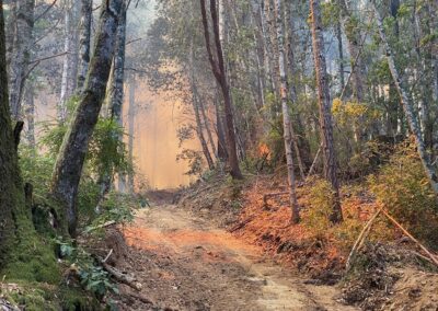
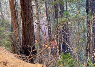
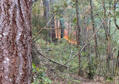
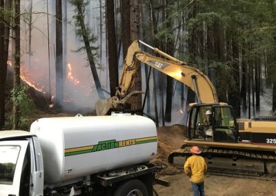
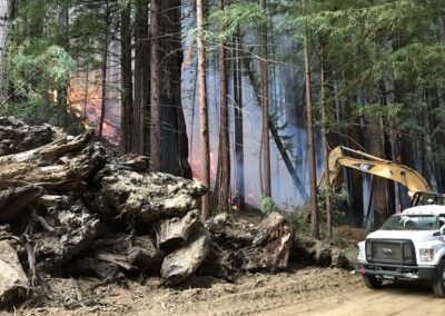
Fires burning down (north) towards Dark Gulch from the Butano Ridge (where they started). Photo is taken from along the jeep/fire road that the Giacomini crew cut on Tuesday (8/18/2020) from Dark Gulch crossing on Old Haul Road up (south) to the Butano Ridge Fire Road to provide vehicle access for CAL FIRE.
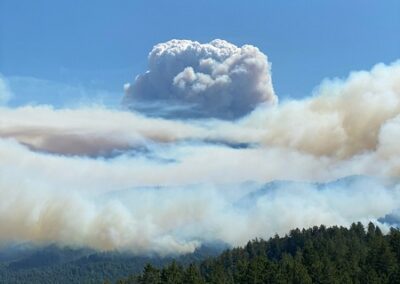
DG Week 15: CZU Fires: Fire burning toward Dark Gulch -pic1 (Wed, 8/19/2020)
Fires burning down (north) towards Dark Gulch from the Butano Ridge (where they started). Photo is taken from along the jeep/fire road that the Giacomini crew cut on Tuesday (8/18/2020) from Dark Gulch crossing on Old Haul Road up (south) to the Butano Ridge Fire Road to provide vehicle access for CAL FIRE.
DG Week 15: CZU Fires: Fire burning toward Dark Gulch -pic3 (Wed, 8/19/2020)
Fires burning down (north) towards Dark Gulch from the Butano Ridge (where they started). Photo is taken from along the jeep/fire road that the Giacomini crew cut on Tuesday (8/18/2020) from Dark Gulch crossing on Old Haul Road up (south) to the Butano Ridge Fire Road to provide vehicle access for CAL FIRE.
DG Week 15: CZU Fires: Fire burning toward Dark Gulch -pic4 (Wed, 8/19/2020)
Fires burning down (north) towards Dark Gulch from the Butano Ridge (where they started). Photo is taken from along the jeep/fire road that the Giacomini crew cut on Tuesday (8/18/2020) from Dark Gulch crossing on Old Haul Road up (south) to the Butano Ridge Fire Road to provide vehicle access for CAL FIRE.
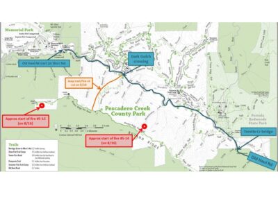
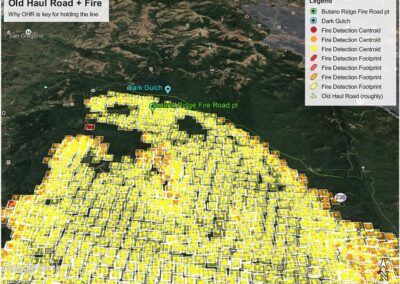
DG Week 15: CZU Fire: Map closeup of Old Haul Rd (roughly drawn, light green line) (Fri, 8/21/2020)
Map of the fire progression on Friday (8/21) afternoon. Old Haul Road is roughly drawn (faint green line) just north of the fire boundary. This shows why Old Haul Road ended up being such an important line to hold in the effort to protect areas north if the winds had changed to blow strongly north or northeast.
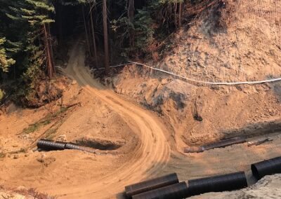
DG Week 15: CZU Fire: Temp access across Dark Gulch site to skid road cut up to Old Haul Road (Fri, 8/21/20)
Temporary access that Giacomini crew created through the excavated Dark Gulch crossing. To the left is Dark Gulch creek downstream. They had to fill in a little section of the trench where they had placed the culvert already. (They will have to pull that fill out later.) Left of center beyond the crossing you can see the skid trail road that they cut to connect back up to Old Haul Road on the east side. This was critical for providing access for trucks and equipment for fire response work!
DG Week 16: CZU Fires: Fire approaching slash pile at Dark Gulch (Sat, 8/22/2020)
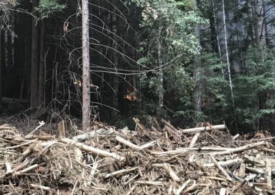
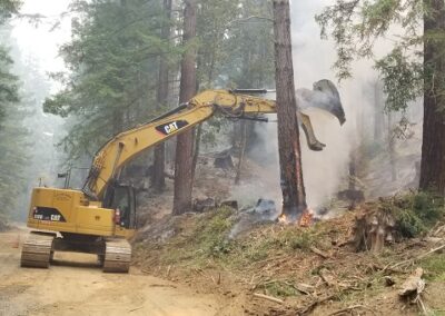
This is wood that has been pulled out of the crossing during excavation. It was being temporarily stored next to the Dark Gulch crossing during construction when the fires hit.
DG Week 16: CZU Fires: Making fire break around slash pile at Dark Gulch (Sat, 8/22/2020)
Les (Giacomini) in the excavator creating a fire break around the slash pile. This is wood that has been pulled out of the crossing during excavation. It was being temporarily stored next to the Dark Gulch crossing during construction when the fires hit.
DG Week 16: CZU Fire: Trestle Cr Bridge rebuild on Old Haul Road, 1st abutment (Sun, 8/23/20)
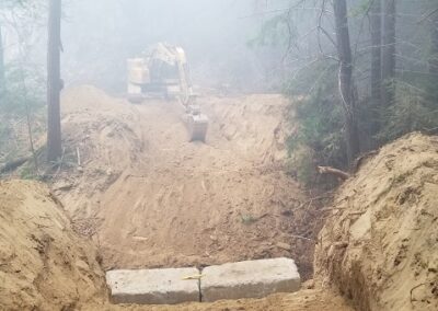
Giacomini crew working on reconstructing the bridge over Trestle Creek along Old Haul Road. One of the newly installed abutments (concrete blocks) is visible. Smoky conditions!
DG Week 16: CZU Fire: Trestle Cr Bridge on Old Haul Road. Dragging bridge into place (Tues, 8/25/20)
Dragging the bridge back into place onto the new abutments.
DG Week 17: CAL FIRE truck xing Dark Gulch
CAL FIRE truck coming back (through the crossing) from checking hotspots on Old Haul Road to the east.
DG Week 17: Upstream of xing, showing burned area.
The white pipe is the dewatering pipe that is carrying the creek flow around the construction site during construction.
DG Week 17: Panoramic Old Haul Rd west of DG- burned out Humboldt log xing
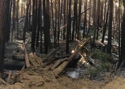
Small Humboldt (crib log) crossing on Old Haul Road about 500 feet west of Dark Gulch the burned under the road. The piles of dirt are where CAL FIRE buried the burning logs to smother the fire. Note that this spot was still smoking on September 4, two weeks after the fire reached this spot.
Videos
DG Week 22: Video of the reconstructed crossing from the east side.
DG Week 20: Video of culvert outlet and (mostly) backfilled crossing.
DG Week 19: Video of small (Humboldt) log crossing just west of Dark Gulch that burned underneath Old Haul Road on about Aug 22. It’s still smoking. (Sep 17, 2020)
DG Week 18: Video of creek now flowing from the newly installed culvert outlet. (Sep 10, 2020)
DG Week 17: Video of burned area along Old Haul Road (east of Dark Gulch)
DG Week 17: Video showing completed culvert installation + how fire burned right to Dark Gulch crossing.
DG Week 14: Video showing the trench for the culvert installation.
DG Week 14: Video of the crew using an excavator to install a culvert segment.
DG Week 14: Video of the crew using an excavator to install a culvert segment.
Updates from Sara Polgar
(RCD Project Manager)
DG Week 10: Overlooking the crossing excavation from the NW side.
DG Week 10: In the pit (i.e. excavated crossing). It’s deep… more than 100 feet down from the road!
DG Week 10: Video taken from down in the excavated crossing at about midway between upstream and downstream ends. It shows the 3 drop offs at the bottom of the channel that were unearthed by the construction crew during excavation. These drop offs were waterfalls in the original Dark Gulch stream, but they were buried with logs and debris when the crossing was constructed in the 1930’s and 40’s.
DG Week 8: The recently exposed original crib log structure — long since collapsed– with the creek water flowing through. Viewed through a hole in the excavated crossing.
DG Week 7: From the pit. Starting looking upstream, panning to Old Haul Road heading east.
DG Week 7: From the pit, again. Starting (on left) looking at Old Haul Road heading east (above), panning to view upstream (with large dug out stump still in crossing), then continuing right to Old Haul Road heading east (above).
DG Week 6: In the pit (i.e. excavated crossing).
Dark Gulch Creek Crossing Pre-Construction Videos (April 2020):

