Butano Creek Reconnection Project
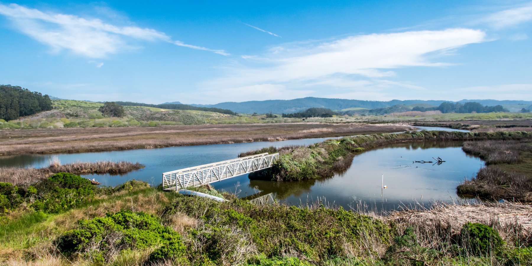
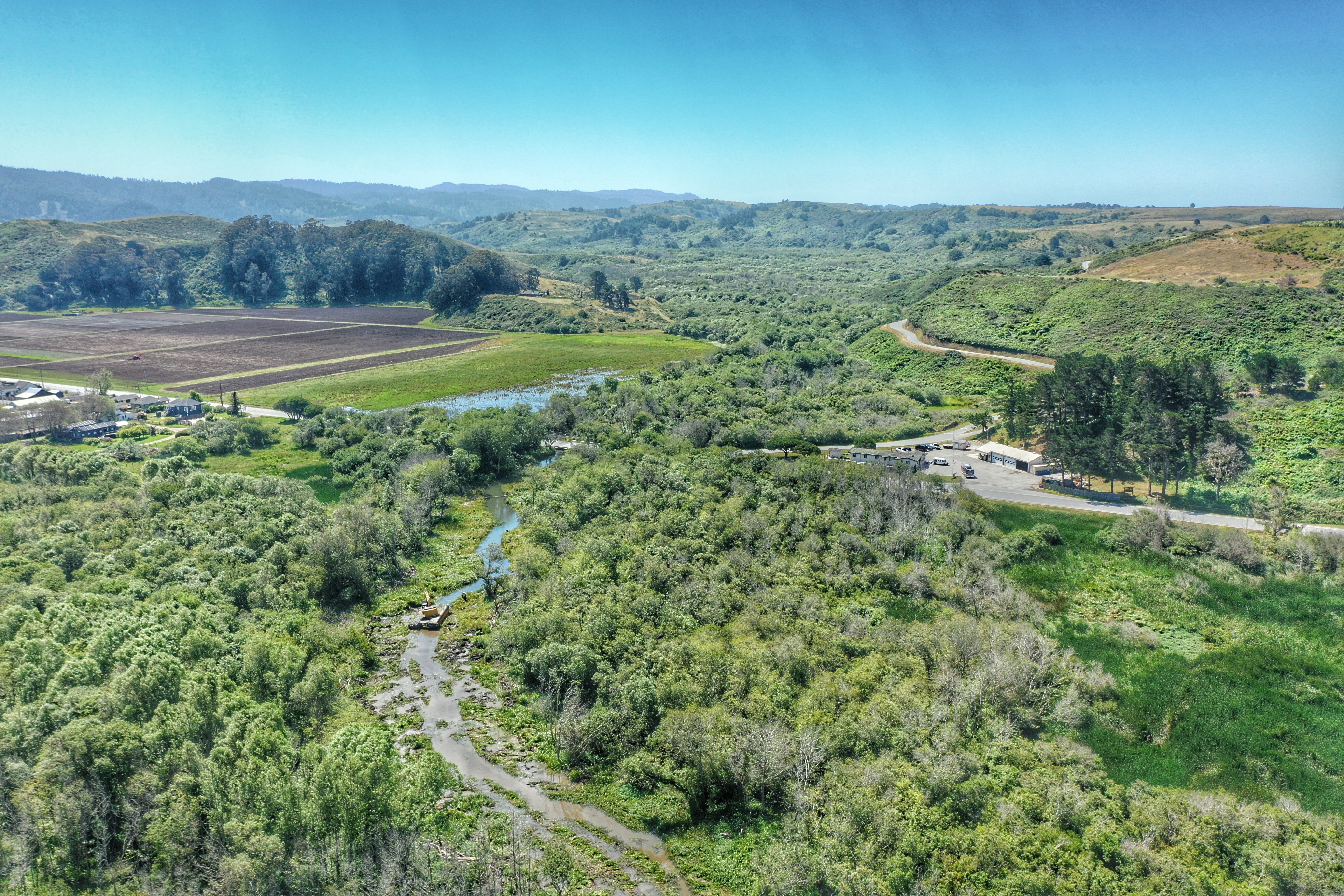
We are happy to report that this project has been completed as of Fall 2019! The creek runs free, migration is restored for native salmon, and the town of Pescadero will flood less. You may want to check out the reporting on the project from the San Francisco Chronicle, the San Jose Daily Journal, and KCBS Radio.
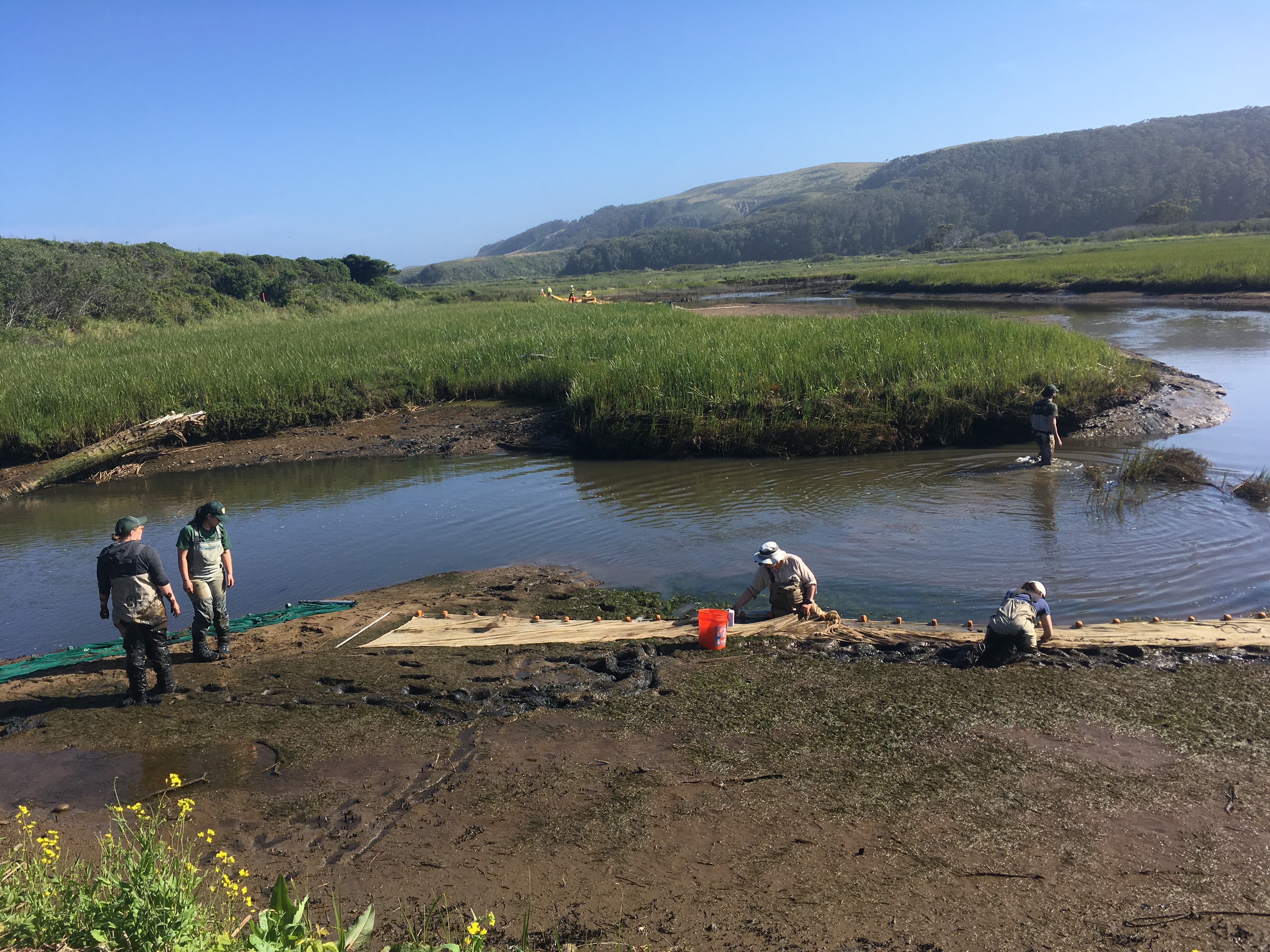
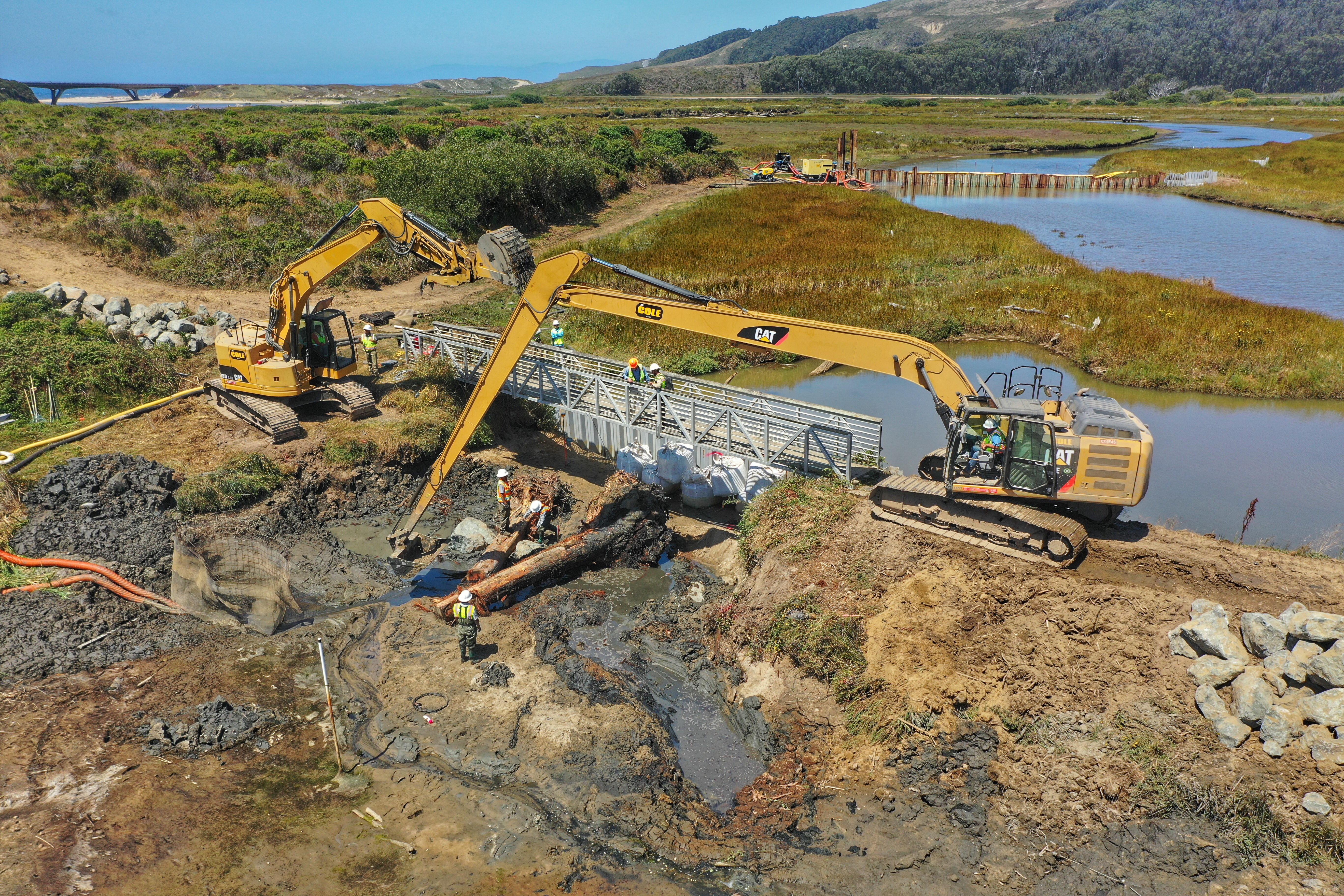
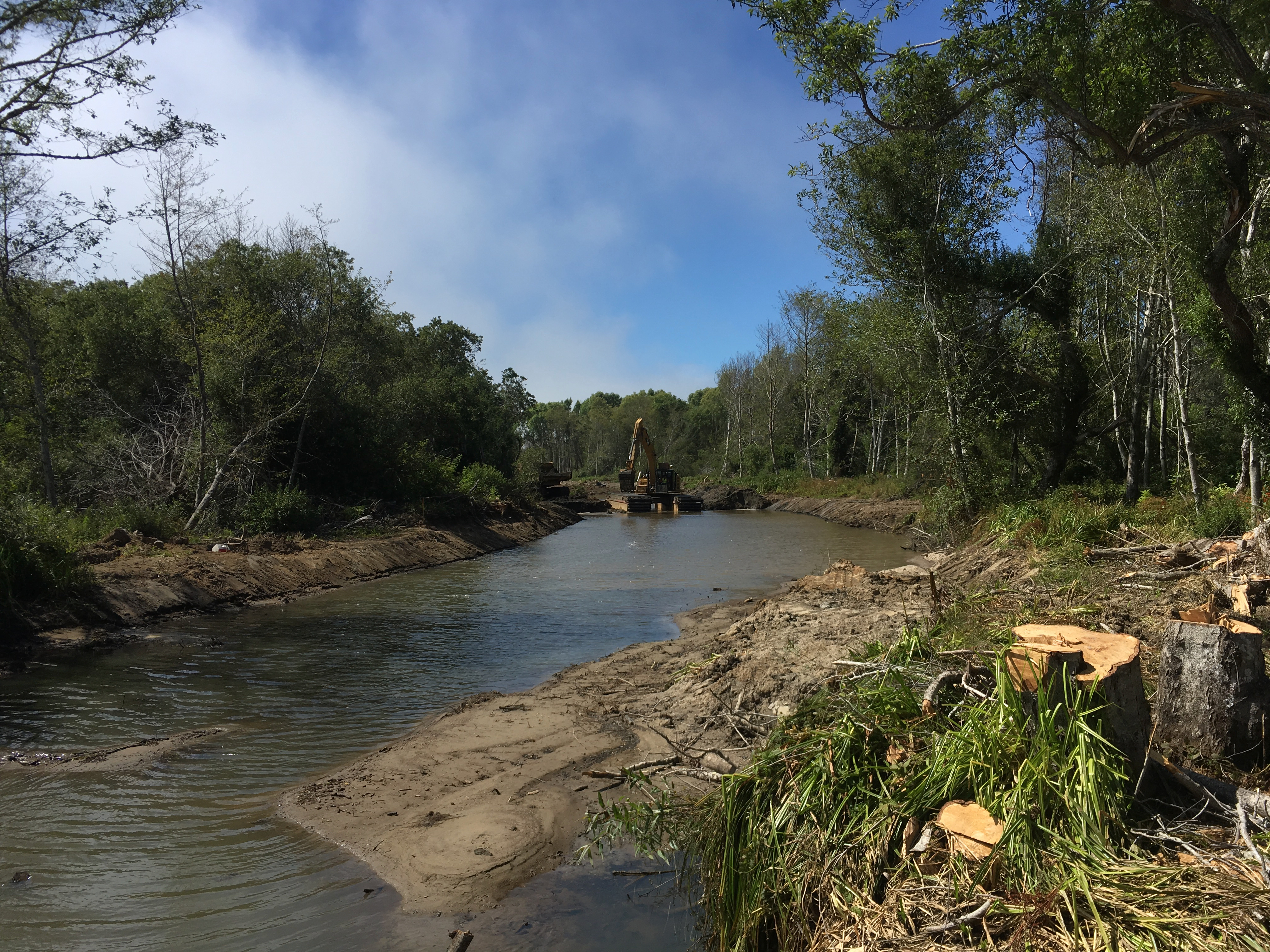
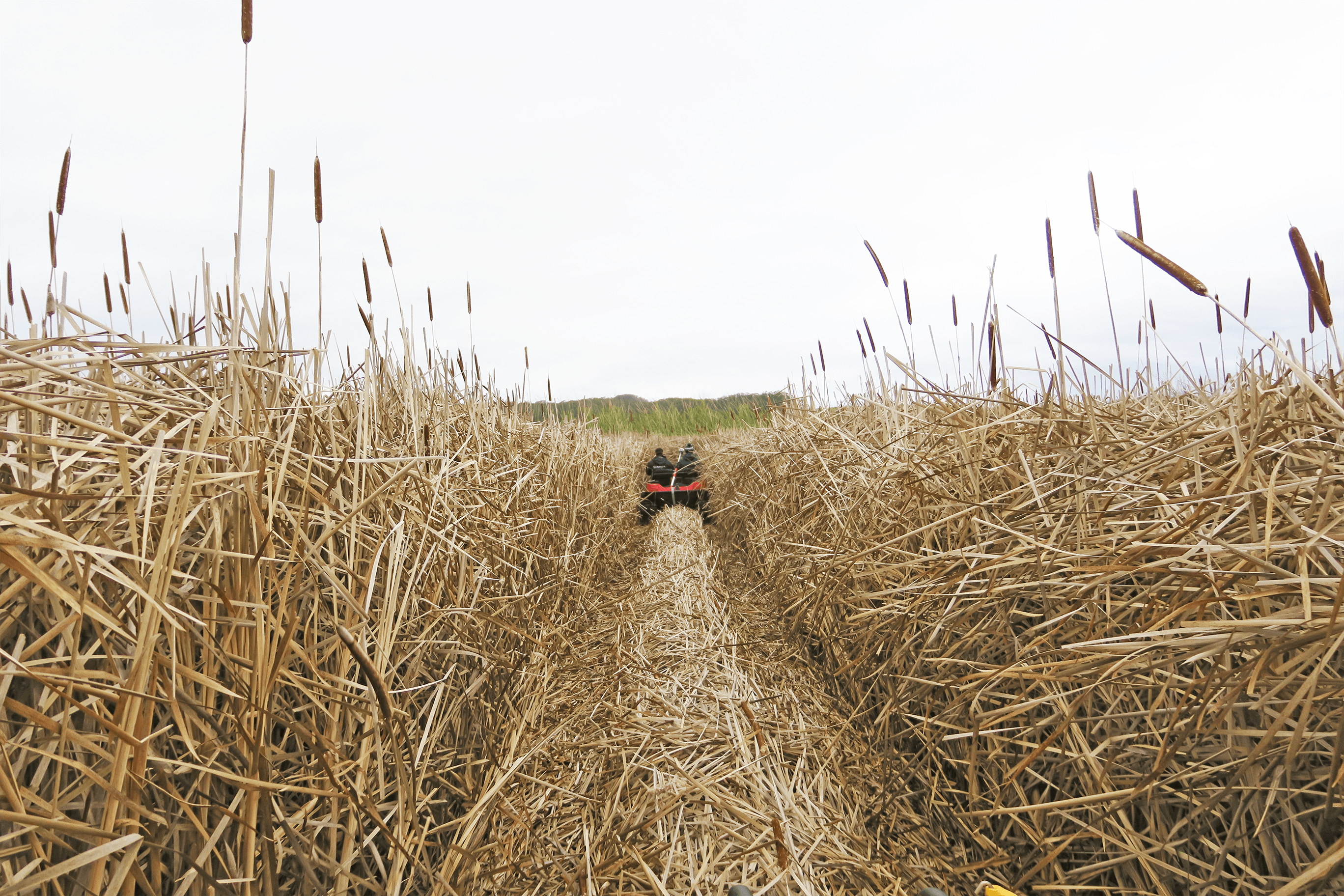
Project Photo Galleries:
A detailed project completion report is now available.
- Project Completion Report (Updated May 2020)
- 2020 Monitoring Report
- As-Built Designs
- Restore access to 10.1 miles of Butano Creek for threatened steelhead trout and endangered coho salmon by reestablishing unimpeded fish passage for a decade or more.
- Reduce risk to the community associated with flooding at Pescadero Creek Road by reducing the extent, duration and frequency of flooding.
- Improve the likelihood of salmonid survival by reducing the risk and/or severity of fish kills through
- creating access to oxygen-rich freshwater refuge during time of low water quality; and
- reducing anoxic conditions by preventing percolation and movement or freshwater from Butano Creek through and across the marsh.
- Improve or create habitat for freshwater marsh species (e.g. California red legged frogs and San Francisco garter snakes) from beneficial re-use of dredge material.
- Improve survival of salmonids by strategically placing dredge material to
- reduce the area of the marsh that is creating anoxic conditions; and/or
- reduce the ability of anoxic water to rapidly flood the lagoon; and/or
- reduce opportunities for fish to seek refuge in areas of poor water quality.
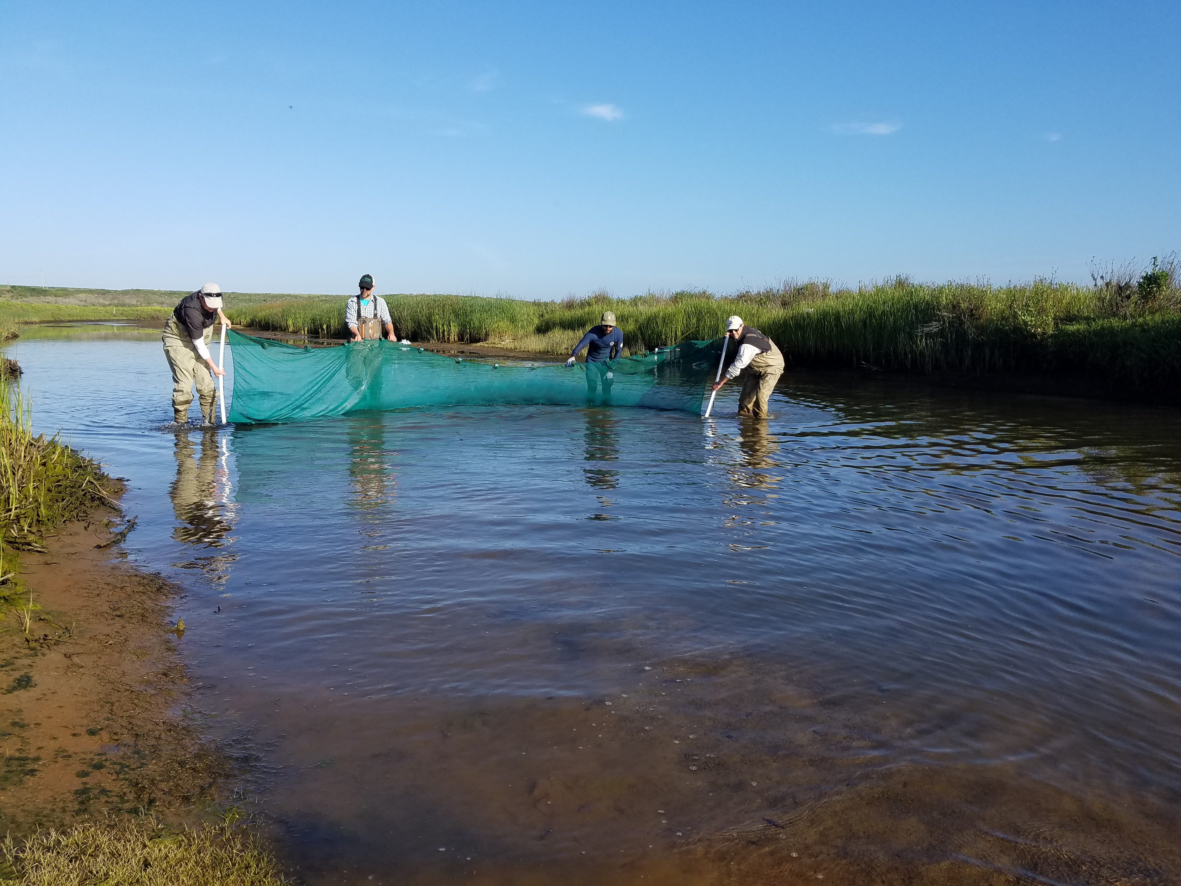
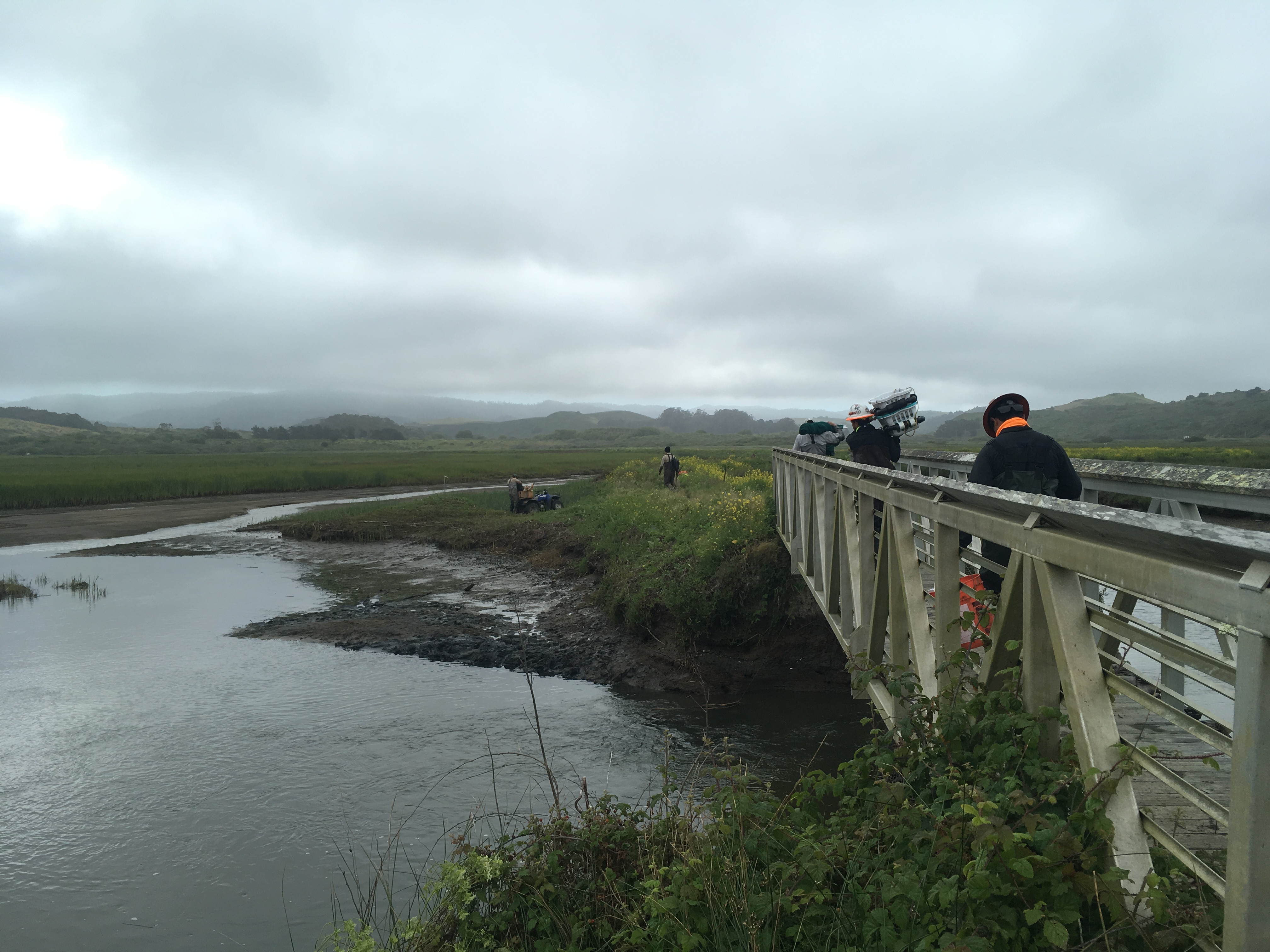
- Provide critical data to inform ecological restoration of the marsh.
- Restore habitat for all marsh species.
- Provide comprehensive ecosystem restoration.
- Remove the community from the floodplain or eliminate flooding to the community.
- Address any flooding from Pescadero Creek.
- Eliminate all flooding from Butano Creek.
- Summer 2018: CEQA (COMPLETE)
- Fall 2018: designs and permitting (COMPLETE)
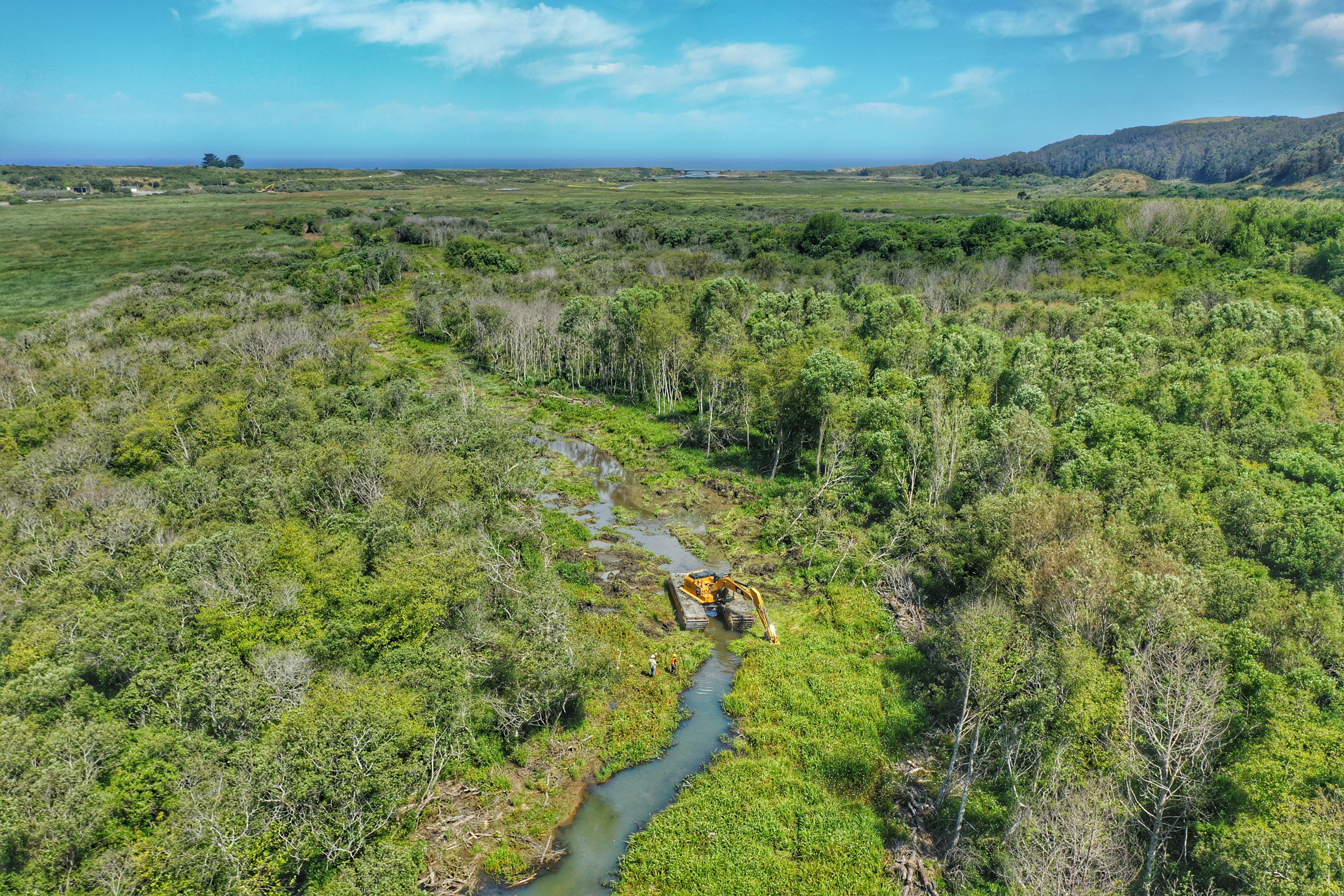
- September 2018: Phase 1 (vegetation removal) (COMPLETE)
- October 2018- January 2019: Public bid process and contractor selection (COMPLETE)
- Spring 2019: Phase 2 (more vegetation removal) (COMPLETE)
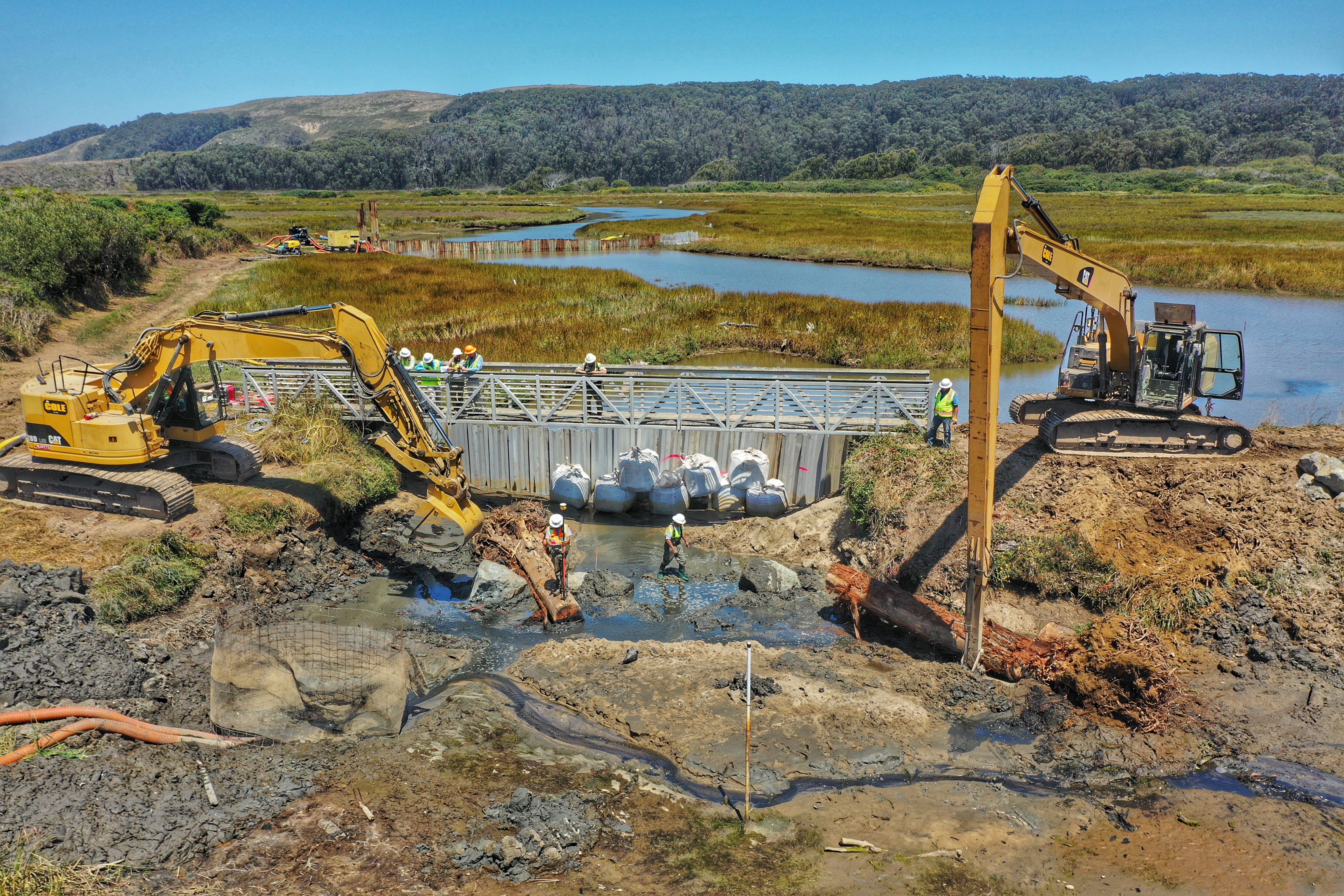
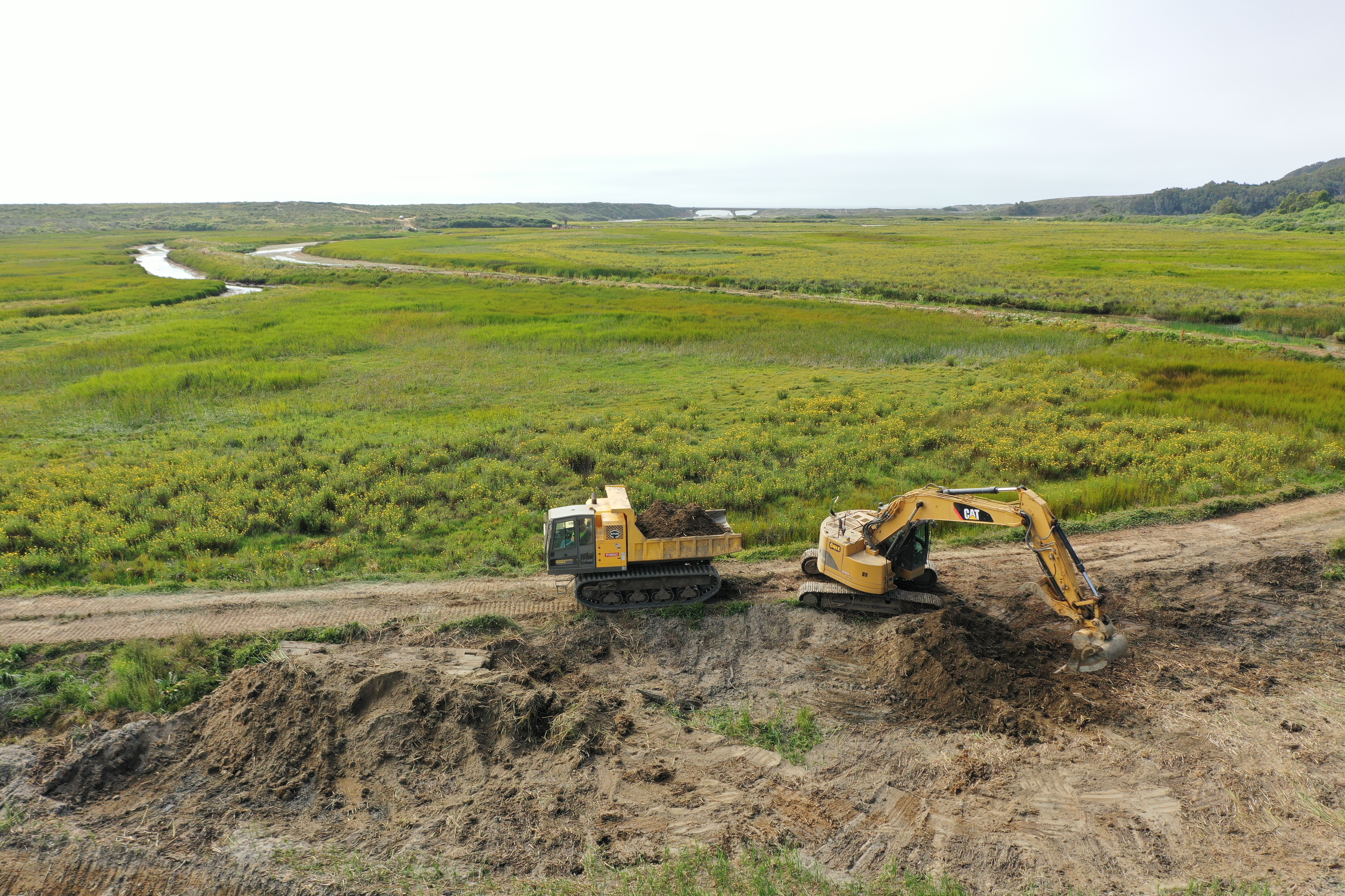
- Summer-fall 2019: Phase 3 (excavation, dredging, and berm construction) (COMPLETE)
- Project Designs and Basis of Design Report (October 2018)
- CEQA Documents
- Notice of Determination (June 28, 2018)
- RCD Board Resolution Approving the Mitigated Negative Declaration and Adopting the Mitigation Monitoring and Reporting Program (June 27, 2018)
- Memo to Board of Directors Regarding Comments Received during the Public Review Period (June 22, 2018)
- Final Mitigation Monitoring and Reporting Program Summary Table
- Initial Study/ Mitigated Negative Declaration (May 2018)
- PowerPoint Presentations
- Interpretive Maps & Descriptions

